According to Wired Magazine, Sophia Chen and five archaeologists squeezed into two SUVs to drive into the Sonoran Desert.
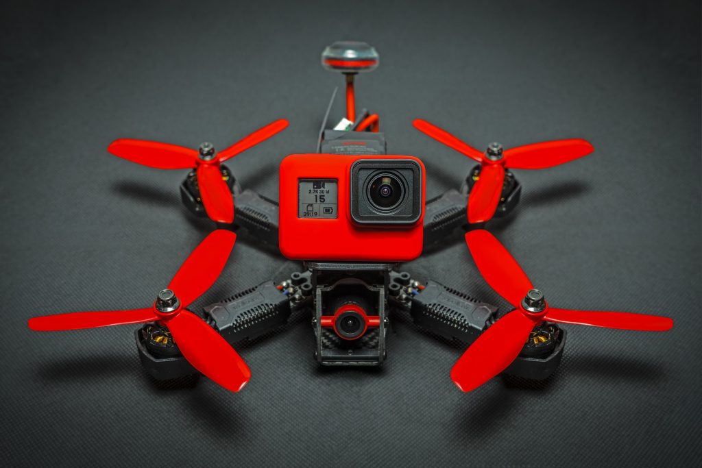
They were only an hour northwest of Tucson. As they entered the yellow expanse that was inside Ironwood Forest National Monument, one of the archaeologists, Doug Gann, took out a drone that had a GoPro camera mounted on it.
As Sophia Chen wrote, “The desert sun still seemed as blinding as ever, but not to his drone.” Doug Gann maneuvered the bird to take better photographs than what people could take, especially as today was the day of the eclipse. As Doug Gann would later explain “You can see…more detail in areas of shadow,” thus explaining the aerial photographs.
When the crew returned home, Gann used software to produce 3-D models of the survey. The group was attempting to better understand the lives of the Hohokam. By taking copious amounts of photographs, the lead archaeologist was able to generate an accurate model. This technique, known as photogrammetry, is a new practice within his field.
From the photographs and the trip, the crew was able to piece together information in ways never before explored. For example, by observing the squat creosote bushes and prickly pear cactus, in addition to the drone photographed model, they observed that the Sonoran Desert used to be more of a grassland.
But using photogrammetry, and specifically using drones, could lead to further gains. By mapping hills of the Hohokam cave and the rock art that is dated between 600 and 1400 AD, a classroom could eventually have access to a virtual reality exhibit. Especially when considering the proliferation of the Oculus Rift, this seems like the natural and future path for drone technology. That is, to create our world but share it with all.
In addition, the models don’t have just one purpose as an educational tool. They have multi-faceted uses. For example, documenting an excavation is much easier to do. By simply flying a drone to create an accurate log of the excavation, researchers can, literally, rewind the tape to see what happened. This is especially important because “When we excavate something, we have to destroy it. It can never be done a second time,” said Jason Ur of Harvard University.
Furthermore, the 3-D models that are generated, thanks to the drone technology, allows archaeologists to ask new questions. Jason Ur of Harvard University, for example, noted his own project in which the “fields of grain chaff in the Kurdistan region of Iraq” must be measured. By using drones he can deduce how much mud, and how large of a mud pile was used. This seemingly dull factoid actually helps answer important ancestral questions of how people lived, and for how long. Similarly, Wright, an archaeologist exploring the Hohokam rock art, wants to take a similar approach to the faint and shallow etchings he has seen. From these measurements, he wants to deduce what symbols held significance to the Hohokams. Perhaps, giving insight into a value hierarchy.
To a degree, the drone technology and these types of measurements sound like a glorified measuring tape. Likely, in the same analogous way that a Delta pilot is a glorified bus driver. But this data is exceedingly important, and archaeologists need to extract all the information they can from their observations and artifacts. Understanding human behavior from mud piles is obscenely difficult, or from rock art. However, the Hohokams were real people, not an abstraction. By understanding how they lived and deducing insights, perhaps this information helps humans today know how they evolved in a particular region.
Most of the time, definitive conclusions are drawn only for objects since, as Wright mentions they are “looking at what people left behind,” there is limited information. They may never get the full story of the Hohokams—but why not use all tools available, including drone technology, to learn what we can?
RELATED STORIES